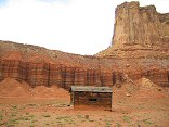
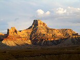
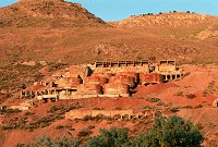
Ranch west of Tomsich Butte, not the main house, which has fallen in, but an outbuilding

Query = 'west'
Note that private photos will not be listed below unless you have logged in.
Results from the Directory listing:
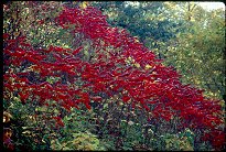
| 2003/Oct25 | Fall colors on Strawberry Peak, West Reef of San Rafael Swell |
Results from the Photographs listing:
|
|
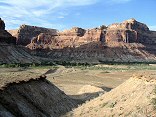
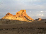
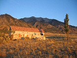
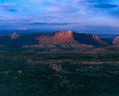
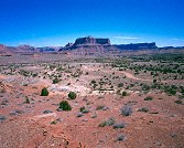
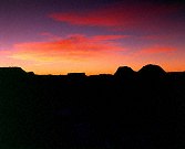
#img_8959
Ranch west of Tomsich Butte, not the main house, which has fallen in, but an outbuilding |
 |
#img_8748
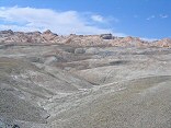
The Chinle hills west of the Hunt ranch |
 |
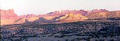
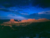
#img_8601
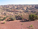
Sinbad Country, west of Temple Mountain |
 |
#img_8329
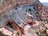
Mine of the west side of the Green Vein Mesa |
 |
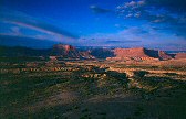
#img_8255
The Bridge campground from the benches west of Assembly Hall Peak |
 |
#img_8251
Window Blind Peak from the benches west of Assembly Hall Peak |
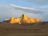 |
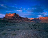
#img_8061
Window Blind Peak West of the Bridge Campground San Rafael Swell |
 |
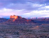
#img_8058
Unnamed round peak and Assembly Hall Peak West of the Bridge Campground San Rafael Swell |
 |
#img_7998
Unnamed round peak and Assembly Hall Peak West of the Bridge Campground San Rafael Swell |
 |
#img_7996
Window Blind Peak West of the Bridge Campground San Rafael Swell |
 |
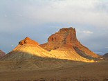
#img_7995
Bottleneck Peak West of the Bridge Campground San Rafael Swell |
 |
#img_7978
Window Blind Peak West of the Bridge Campground San Rafael Swell |
 |
#img_6237
Trailer on West side of Mt. Nebo Mona Utah |
 |
#459-4
the reef, west side slope just above second gate on mexican mt rd |
 |
#456-3
mexican mountain <i>full rise</i> West Jackass benches south of mex mt (above Swasey's leap turnoff) |
 |
#464-4
Cliffs along mexican mountain rd fule rise West Jackass benches south of mex mt (above Swasey's leap turnoff) |
 |
#463-1
San Rafael Reef West Jackass benches south of mex mt (above Swasey's leap turnoff) |
 |
#463-2
San Rafael Reef West Jackass benches south of mex mt (above Swasey's leap turnoff) |
 |
#464-3
Mexican mountain West Jackass benches south of mex mt (above Swasey's leap turnoff) |
 |
#462-1
Mexican mt some tilt up West side, above Swazy's Leap |
 |
#448-1
mexican mountain, san rafael reef (west side) second gate, mex. mt. rd., on cliff. |
 |
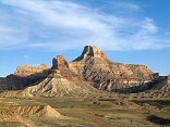
#447-1
peaks, west sinbad, Pinnacle? south of assembly hall peak, san rafael |
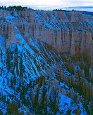 |
#437-4
Bryce west wall Bryce point |
 |
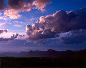
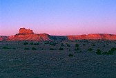
#443-1
Little Grand Canyon clouds at 5, before sunrise Wedge overlook, west side |
 |
#443-2
Little Grand Canyon cliffs at 5, before sunrise xp 5 sec. goofed, forgot filter factor Wedge overlook, west side |
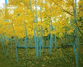 |
#401-4
Maple, Aspen trunks facing West Shram trail |
 |
#403-4
Utah valley full extinguish (not much, really) Many big spiders in the tree. near peak of West mt |
 |
#127-2709
One small section of the Navajo sandstone "teeth" on the Western edge of the Grand Gulch. Strike Valley Overlook Capitol Reef National Park |
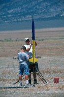 |
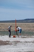
#l130-04
Preping a rocket for launch UROC Pony Express Launch Facility West Desert, about 15 miles South of Toole UT |
 |
#088-26
"Cold. Oh so very cold"
Shot during a break in the clouds of a very cold and foggy day (T = -10 F), kneeling in about 2 feet of snow Far Western side MN |
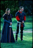 |
#1471
Photos taken at the Lusty Day in May activity, sponsored by the Shire of Western Keep, in the Principality of Northshield of the Middle Kingdom, the Brookings SCA organization. See the Exhibit for the best-of photos. See also 25May00. Lord and Lady Heir of Northshield, Sir Tristan von Eisig and Lady Eilika von Lutzen Oakwood Lake State park Bruce SD |
 |
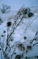
#088-12
As the snow falls, it gets layered with dirt blown off the fields. When the wind blows harder, the snow is scoured off, leaving conture lines visible on the surface Far Western side MN |
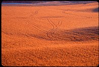 |
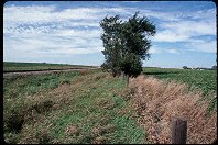
#252-17
Tracks in field, West of Dell Rapids SD |
 |
#075-31
Highway 14 west of Benton MN |
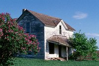 |
#a106-33
"Lilacs and Ruins"
An abandoned farm and equipment. I got there during Spring, just when the Lilacs were at their peak Western South Dakota |
 |
#v116-04
West of Goshen UT |
 |
#v128-29
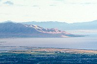
West Mountain, Utah lake, Provo Airport South Utah Valley, shot from Squaw Peak overlook, Orem Provo UT |
 |
#265-3
This old house is made of 2x4's, all laid flat to make the walls. A very strange method of construction. lakeside, west of Spanish Fork Utah |
 |
#1721
Shots from the UROC (Utah model rocketry society?) annual launch, early in June in the desert west of Provo Pony Express Launch Site |
 |
#2040
...by going to every place where longitude and latitude lines cross. Looking West |
Results from the Comments:
No matches.Results from the old catalog:
This search is a simple search for a word that appears somewhere in the database.
It is best to search a single word only. Multiple words are treated as OR.
If you find photos in the photographs section, you might want to look at
all the photographs in that photos directory to find similar matches.
Click here to list all keywords in the
database.
Click here to list the most popular photos in the
database.