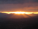
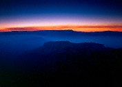
Sunset just before the fireworks
Squaw PeakTrail overlook Provo

Query = 'the'
Note that private photos will not be listed below unless you have logged in.
Results from the Directory listing:
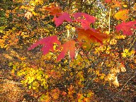
| 2008/10-02 | Shots with my new Canon G9, fall foliage over the Nebo Scenic Loop, central Utah | |
| 2005/July20 | A few shots at Panorama Point (Glen Canyon), and at the rock crawling area, south end of Lake Mountain. | |
| 2004/Mar28 | San Rafael digital shots, including Behind the Reef road and Reds Canyon. | |
| 2004/Mar15 | Strawberry Ridge in the Fall, San Rafael Swell, UVSC campus (LF) | |
| 2003/Sep25 | Fall in the Wasatch Mountains: Mt. Nebo front, Wardsworth Trail, Strawberry Peak, Skyline Drive. | |
| 2003/Jul02 | Cleaning out the LF film box: fall on Mt. Nebo, winter in Bryce Canyon, San Rafael Swell in winter and spring, Strawberry Peak in summer. | |
| 2003/May30 | Digital shots in the San Rafael Swell and vicinity. | |
| 2003/Apr26 | LF shots from Mt. Nebo (Fall), Bryce (Winter), and the San Rafael Swell (Winter & Spring). | |
| 2003/Mar31 | The San Rafael River valley, Mexican Mountain, San Rafael Swell. Digital. | |
| 2002/Nov03 | Long Canyon, Circle Cliffs, Capitol Reef, along the Burr Trail (LF) | |
| 2002/Oct06 | Fall on the Burr Trail, Grand Staircase-Escalante National Monument. Digital. | |
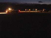
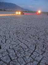
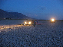
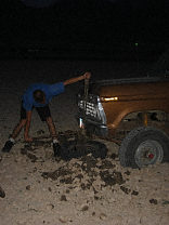
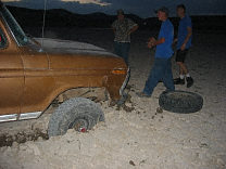
| 2002/Sep04 | Mona Reservoir: On Assignment, the pulling of a single truck out of the mud flats of the drying reservoir, in which seven trucks and about 25 people participate. | |
| 2002/Jul08 | Medium format film scans (B&W and E6) from over the years. | |
| 2002/Apr01 | Large-format shots from Fisher Towers and a few of Mt. Nebo (some shots underexposed, so they scanned oddly). | |
| 2001/Oct31 | Arches N.P., Fall colors in the Wasatch range. | |
| 2001/Oct03 | Large-format scans taken over the last year, many fall 2001 pictures. | |
| 2001/Sep24 | More Fall colors, mostly shot over the Mt. Nebo Scenic Loop. | |
| 2001/Sep20 | Fall colors, shot over the Alpine and Mt. Nebo Scenic loops. | |
| 2001/Sep12 | Shots in Nepi, Utah, and over the Mount Nebo Scenic Loop, early Fall. Fireman training ay UVSC. | |
| 2001/Sep10 | Shots around the Alpine Loop Scenic Drive, and the Mount Nebo Scenic Drive, in very early Fall. | |
| 2001/Sep09 | Shots in and around the Union Pacific railyard in South Provo. | |
| 2001/Aug28 | B&W shots around the UVSC Science Building, some shots in the mountains. | |
| 2001/Jun12 | Shots around Eureka, Utah, Fathers-Sons campout. | old |
| 2001/May04 | Scenes of the flood in South Dakota, Spring 2001. | old |
| 30Sep00 | Armorgeddon: Great Sword tourney, falcon, A&S, fencing, great sword, archery, field battles, bridge battle, fort battle, after the battles, night in the encampment. | old |
| 06Mar00 | Scenics around SD, transportation theme. | old |
Results from the Photographs listing:
|
|
#img_0433
Sunset just before the fireworks Squaw PeakTrail overlook Provo |
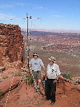 |
#img_0425
KA7OEI and K7HFV at the Panorama Point receive site Glen Canyon Rec Area |
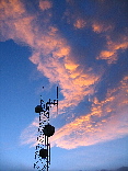 |
#img_0423
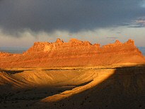
Sunset light in the clouds Ceder Mountain, San Rafael Swell |
 |
#img_9275
The northern Swell from Horn Mountain |
 |
#img_9264
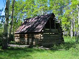
Barn along Indian Creek, south of the campground |
 |
#img_9252
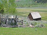
Old homested along the Upper Joe's Valley Road |
 |
#img_9250
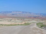
Moore Road: gypsum mine, Red Ledges, Coal Cliffs (Molen Reef), cliffs of the Wasatch Pleatau above Ferron |
 |
#img_9235
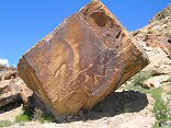
Petroglyphs along the Morre Road |
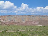 |
#img_9234
Foreground Morrison formation painted hills, behind them the Coal Cliffs of the Molen Reef |
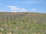 |
#img_9233
The desert blooms Moore Road |
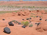 |
#img_9178
Lava boulders on Entrada sandstone Between Salt Wash and the Muddy, near Lone Tree Crossing |
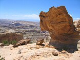 |
#img_9145
Stone formation, head of Poor Canyon The Dike |
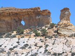 |
#img_9143
Window at the Dike |
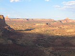 |
#img_9044
Upper Reds Canyon, Family Butte to the right |
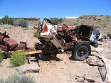 |
#img_8995
Old mine truck at the Cistern mine |
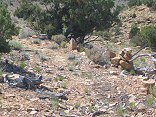 |
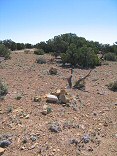
#img_8982
More fo the stone cairn road markers, and the only bit of the original road that I ever saw |
 |
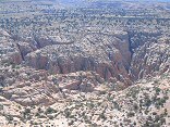
#img_8976
Stone cairns that mark an old road to the Blackwood and Nickols drill hole |
 |
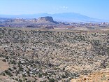
#img_8973
The Coconinio wild of Baptists Draw |
 |
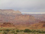
#img_8971
Baptist Draw and the Reef |
 |
#img_8967
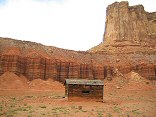
Tomsich Butte, against the magnificant walls above Hondo Country |
 |
#img_8959
Ranch west of Tomsich Butte, not the main house, which has fallen in, but an outbuilding |
 |
#img_8949
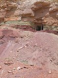
An adit at the top of the Chinle formation, south of Lucky Strike |
 |
#img_8938
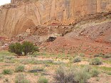
Mine in a canyon south of the Lucky Strike |
 |
#img_8934
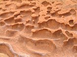
Miniature canyonscape on the Reds Canyon road |
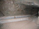 |
#img_8928
Inside one of the adits at the Lucky Strike Mine |
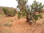 |
#img_8926
One-holer on the road to the Lucky Strike Mine |
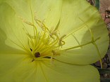 |
#img_8875
Primrose Reds Canyon, near the wash bed |
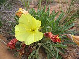 |
#img_8873
Primrose Reds Canyon, near the wash bed |
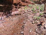 |
#img_8768
A spring at the head of Reds Canyon |
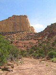 |
#img_8767
A view towards the head of Reds Canyon |
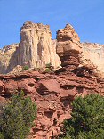 |
#img_8763
A view from inside the head of Reds Wash |
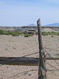 |
#img_8750
The Hunt ranch, where cows, sheep, and chickens were raised, along with hay and corn for feed, all watered by the Muddy |
 |
#img_8749
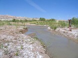
The ford across Muddy Creek. The Hunt's drove this road in from a mining road to the south. Vehicles cross from the lower left to the upper left by way of the kiosk. |
 |
#img_8748
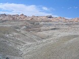
The Chinle hills west of the Hunt ranch |
 |
#img_8744
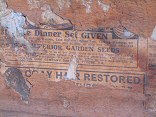
Magazene wallpaper in the Hunt house |
 |
#img_8739
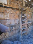
Inside the Hunt house |
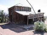 |
#img_8738
The two-story house (the upper floor was used for storage) built by Charlie Hunt about 1920. The additon came later. |
 |
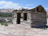
#img_8737
The log chicken coop and cow and sheep corral built by Charlie Hunt and his sons |
 |
#img_8734
The cabin Rulon and Floyd Hunt moved over from Cainsville in 1929 after thier father, Charlie, abandoned the ranch |
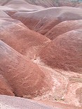 |
#img_8726
A nice area of Chinle above Hunt's Ranch on the Muddy |
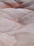 |
#img_8721
A nice area of Chinle above Hunt's Ranch on the Muddy |
 |
#img_8698
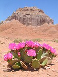
Beavertail Opuntia basilaris The Summerville cliffs between Middle Wild Horse Mesa and Big Wild Horse Mesa |
 |
#img_8688
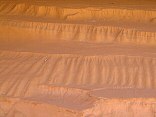
Sand washed into a series of mesas, much like the big ones |
 |
#img_8662
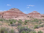
A small area of Chinle hills towards the bottom of Wild Horse Creek |
 |
#img_8653
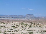
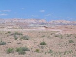
From Big Wild Horse Mesa, Factory Butte and the colorful Chinle formation below Skylline Rim in front of the Butte. |
 |
#img_8650
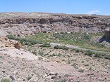
The southern Reef from Big Wild Horse mesa, by the Huntsville Chevron #1 drill hole. |
 |
#img_8649
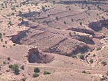
The Muddy Creek, southeast of the Wild Horse Creek wash |
 |
#img_8607
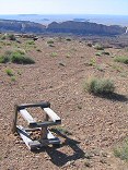
A jeep trail in the foreground, and a single-track dropping into the canyon east of Flat Top. |
 |
#img_8605
The Reef from Flat Top |
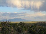 |
#img_8582
McKay Flats after a rainstorm. My Ellen (Henry Mountain range) in the background |
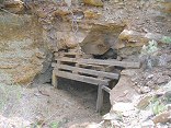 |
#img_8557
A strange prospect, very sturdily built at the front... |
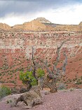 |
#img_8516
San Rafael Knob at the head of Reds Canyon |
 |
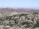
#img_8409
As close as I could get to one of the long-tailed wild horses in the Swell McKay Flat |
 |
#img_8407
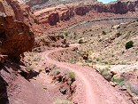
Looking across Sinbad Country to the southern Reef |
 |
#img_8401
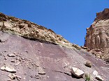
Behind the Reef road descends in to Ramp canyon |
 |
#img_8400
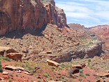
The purple band of shale found in the Chinle layer |
 |
#img_8399
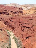
Behind the Reef Road ATV trail |
 |
#img_8398
Cistern Canyon climbs up threough the red Moenkopi to the yellow kaibab limestone to the white Coconino sandstone |
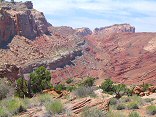 |
#img_8395
The Behind the Reef road climbs the Kayenta ledge high above the red Moenkopi ledges of the Cistern Canyon |
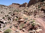 |
#img_8392
The Behind the Reef Road descends a slope of loose boulders |
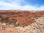 |
#img_8391
From the Behind the Reef Road, the red Moenkopi shleves, and beyond that the Kaibab limestone benches of the Swell interior |
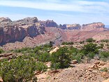 |
#img_8390
In the distance the Behind the Reef road climbs up the Kayenta shelf. Above is the Navajo, and below is the oddly-sloped Wingate. Below that is the Chinle/Moenkopi valley |
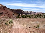 |
#img_8389
Behind the Reef Road. This road goes all the way along the visible cliffs |
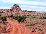 |
#img_8388
Wildly eroded butte Behind the Reef Road |
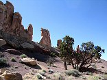 |
#img_8385
Navajo hoodoos in Little Wild Horse Canyon, near the Behind the Reef Road |
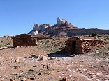 |
#img_8384
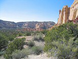
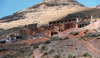
Stone Buildings at the base of Temple Mountain |
 |
#img_8380
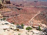
Plateau above the head of Reds Canyon |
 |
#img_8373
Road into the Lucky Strike Mine |
 |
#img_8372
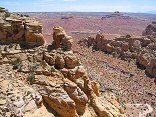
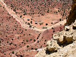
Reds Canyon and Hondu Country, from above the Lucky Strike Mine |
 |
#img_8371
The Lucky Strike Mine |
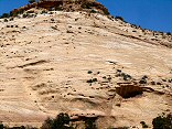 |
#img_8370
Navajo sandstone butte showing the aolian (windborne) corssbedding |
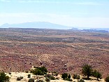 |
#img_8369
Hondu Country, Factory Butte and the Henry Mountains in the distance |
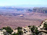 |
#img_8367
Looking south down reds Canyon from the edge of Link Flats |
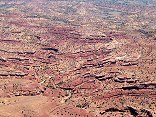 |
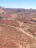
#img_8366
The ledgy turmoil of Reds Canyon |
 |
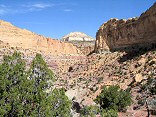
#img_8365
Looking north into Reds Canyon, Family Butte to the left background |
 |
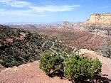
#img_8352
San Rafael Knob and the head of Red Canyon |
 |
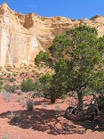
#img_8345
Reds canyon, from the head near San Rafael Knob |
 |
#img_8344
Cirque near the head of Reds Canyon |
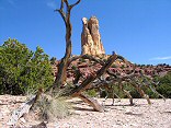 |
#img_8341
The pillar north of Family Butte |
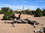 |
#img_8338
San Rafael Knob, center, in the distance |
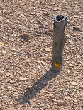 |
#img_8335
Another paper-cased borehole |
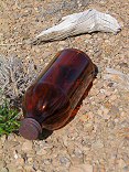 |
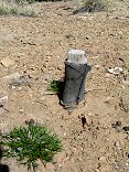
#img_8333
I found a worker campsite atop Green Vein Mesa. This was a syrup bottle, sith a little syrup still inside. Also in the area: baby bottles, coffee cans, children's toys. |
 |
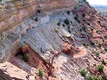
#img_8332
The paper-cased borehole atop Green Vein Mesa |
 |
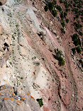
#img_8329
Mine of the west side of the Green Vein Mesa |
 |
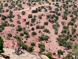
#img_8328
From above, the road to the adit, Green Vein Mesa, just north of Family Butte |
 |
#img_8327
Mine in the Green Vein Mesa area |
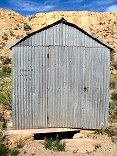 |
#img_8326
Tan Seep. The seep itself is 8 feet below this galvanized steel building |
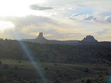 |
#img_8319
To the left: San Rafael Knob |
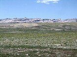 |
#img_8311
The Reef north of Tidwell Draw |
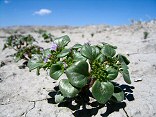 |
#img_8307
Phacelia East of the Reef |
 |
#img_8306
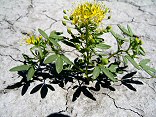
Yellow beeplant Cleome lutea East of the Reef |
 |
#img_8305
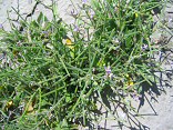
Must-mustard Chorispora tenella East of the Reef |
 |
#img_8304
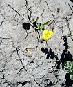
Camissonia (in the evening primrose family) East of the Reef |
 |
#img_8300
The Smith corral |
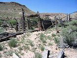 |
#img_8299
The Smith corral |
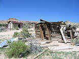 |
#img_8298
The Smith homestead, just outside the Reef |
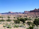 |
#img_8296
Mexican Mountain and the interior of the Reef |
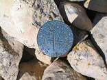 |
#img_8290
Survey marker, showing the intersection of four sections. These appear all over the swell. |
 |
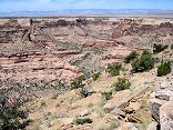
#img_8286
Corral on the Horse Heaven flats |
 |
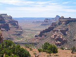
#img_8276
Near the center: the Buckhorn Wash pictographic panel, shot from the North shoulder of Calf Canyon |
 |
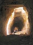
#img_8275
The interior of the northen Swell form the north shoulder of Cow Canyon |
 |
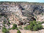
#img_8271
The cavern dug (possibly) by the department of defense as a strategic location, but abandoned. 39deg 09.53N 110deg 43.02W climb down the dugway to get to the horizontal entrance. |
 |
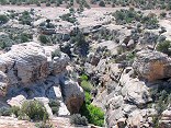
#img_8267
Upper reach of one of the upper eastern canyons of Buckhorn Wash |
 |
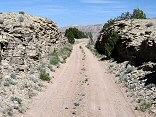
#img_8265
Upper reach of one of the upper eastern canyons of Buckhorn Wash |
 |
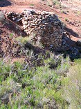
#img_8261
A small cut of the railroad grade |
 |
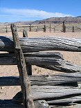
#img_8259
One of the lime kilns near the old railroad grade |
 |
#img_8257
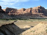
Corral near the Buckhorn Wash intersection with the Green River Cutoff |
 |
#img_8255
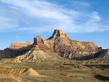
The Bridge campground from the benches west of Assembly Hall Peak |
 |
#img_8251
Window Blind Peak from the benches west of Assembly Hall Peak |
 |
#img_8248
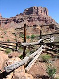
The old corral just North of Mexican Mountain. |
 |
#img_8247
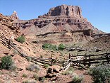
The old corral just North of Mexican Mountain. |
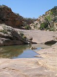 |
#img_8234
The wash below Sid's Hole, bereft of soil that was deposited above the dam |
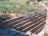 |
#img_8232
The dam at Sid's Hole. Note it is completely silted in. Cottonwood Wash Road |
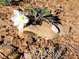 |
#img_8227
Evening Primrose Oenothera caespitosa? |
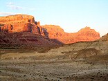 |
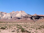
#img_8216
Cliffs above Mexican Mountain Road Near the Bridge campground |
 |
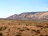
#img_8198
The Reef in the background, the Curtis (ledgy) and Summerville (sloped) formations in the foreground. |
 |
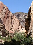
#img_8197
The bulk of the Swell that appears to be a point at Greasewood Canyon, as seen from the south of the Squeeze Note the size of the Reef (formed by the Grand Canyon Group) relative to the interior of the Swell, made of the Perminan Group), a difference of 1700 feet |
 |
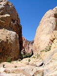
#img_8184
Farther up the Uneva Mine canyon. Wingate sandstone on the walls, and Coconino sandstone making up the bulge of the Swell in the center. |
 |
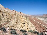
#img_8183
The Uneva Mine Canyon, second canyon south of I-70. Note the Navajo and Wingate formations, and in back, the Coconino sandstone, same formation that makes the Black Box. |
 |
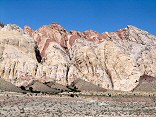
#img_8182
The reef: the red Carmel, and the white navajo. |
 |
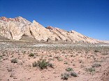
#img_8180
The Grand Canyon Group on end: Carmel, Navajo, Kayenta, Wingate formations. |
 |
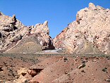
#img_8179
The reef north of I-70. Note that is shallows to the north. |
 |
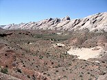
#img_8176
I-70 starts up Spotted Wolfe Canyon through the Reef. |
 |
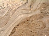
#img_8174
The Reef south of I-70. Note the increase of the pitch as the reef goes south. |
 |
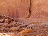
#img_8173
Swirls in the stone |
 |
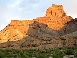
#img_8170
Some of the pictogrpahs at the mouth of Black Dragon Wash. The dragon is on the lower left. |
 |
#img_8143
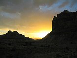
The shadow of the round peak on the flanks of Assembly Hall Peak |
 |
#img_8138
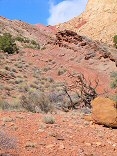
Sunset looking up the little grand canyon of the San Rafael River |
 |
#img_8101
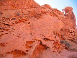
The last climb down (or the first climb up going north) Behind the Reef road San Rafael Swell |
 |
#img_8100
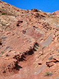
Wingate sandstone Behind the Reef road San Rafael Swell |
 |
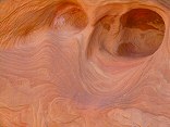
#img_8098
Behind the Reef Road ATV trail Behind the Reef road San Rafael Swell |
 |
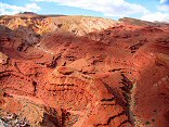
#img_8097
Navajo sandstone erosion Behind the Reef road San Rafael Swell |
 |
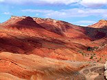
#img_8096
Cistern Canyon drainage (Moenkopi formation) Behind the Reef road San Rafael Swell |
 |
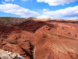
#img_8095
Cistern Canyon drainage (Moenkopi formation) Behind the Reef road San Rafael Swell |
 |
#img_8094
Cistern Canyon drainage (Moenkopi formation) Behind the Reef road San Rafael Swell |
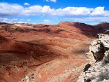 |
#img_8093
Cistern Canyon drainage (Moenkopi formation) Behind the Reef road San Rafael Swell |
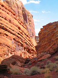 |
#img_8092
Slot Canyon swiss cheese, Cistern Canyon Behind the Reef road San Rafael Swell |
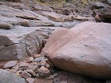 |
#img_8091
One of the small problems one encounters on the ATV trail Cistern Canyon bottom, Behind the Reef road San Rafael Swell |
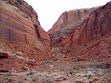 |
#img_8089
Cistern Canyon enters the Reef Behind the Reef road San Rafael Swell |
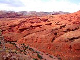 |
#img_8088
Cistern Canyon drainage (Moenkopi formation) Behind the Reef road San Rafael Swell |
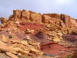 |
#img_8087
Behind the Reef road San Rafael Swell |
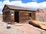 |
#img_8086
Cistern Mine, South of Bell Canyon Behind the Reef road San Rafael Swell |
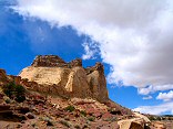 |
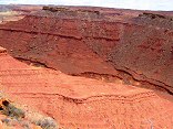
#img_8083
Navajo sandstone block Behind the Reef road San Rafael Swell |
 |
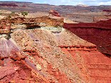
#img_8082
Behind the Reef road San Rafael Swell |
 |
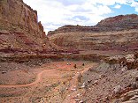
#img_8081
Hondu Country Behind the Reef road San Rafael Swell |
 |
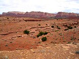
#img_8080
Chute Canyon exits the Reef Behind the Reef road San Rafael Swell |
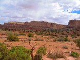
 |
#img_8079
Inside the San Rafael Reef, at Crack and Chute Canyons Behind the Reef road San Rafael Swell |
 |
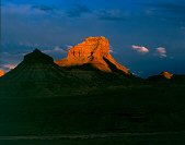
#img_8078
Inside the San Rafael Reef, at Crack and Chute Canyons Behind the Reef road San Rafael Swell |
 |
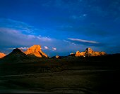
#480-2
Assembly Hall peak 1 inch rise, clouds in the background Bridge, San Rafael Swell |
 |
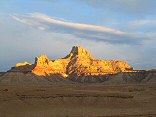
#483-1
Assembly Hall peak, Windowblind peak 1 inch rise, clouds in the background Bridge, San Rafael Swell |
 |
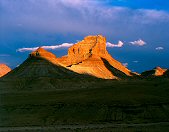
#img_8061
Window Blind Peak West of the Bridge Campground San Rafael Swell |
 |
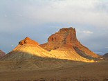
#481-4
Assembly Hall peak 1 inch rise, clouds in the background Bridge, San Rafael Swell |
 |
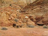
#img_8058
Unnamed round peak and Assembly Hall Peak West of the Bridge Campground San Rafael Swell |
 |
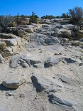
#img_8045
One of the main shafts, Lucky Strike Mine Reds Canyon San Rafael Swell |
 |
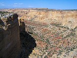
#img_8037
One steep part of the Devil's Racetrack. This was once the main road into the interior of the Swell. Devil's Racetrack San Rafael Swell |
 |
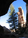
#img_8036
North end of the North Fork of Coal Wash Just below the Devil's Racetrack San Rafael Swell |
 |
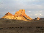
#img_8022
Broken Cross and Douglass Fir, as seen from the entrance of Honeymoon Cave Swaysey's Cabin, Head of Sinbad San Rafael Swell |
 |
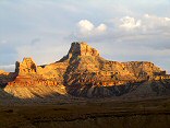
#img_7998
Unnamed round peak and Assembly Hall Peak West of the Bridge Campground San Rafael Swell |
 |
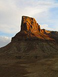
#img_7996
Window Blind Peak West of the Bridge Campground San Rafael Swell |
 |
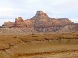
#img_7995
Bottleneck Peak West of the Bridge Campground San Rafael Swell |
 |
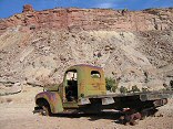
#img_7978
Window Blind Peak West of the Bridge Campground San Rafael Swell |
 |
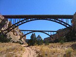
#img_7958
Truck, and Calf Mesa Mine in the background, upper left San Rafael Swell |
 |
#img_7716
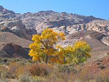
The bridges over Eagle Canyon, I-70 |
 |
#img_7685
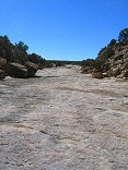
The east side of the Reef |
 |
#img_7640
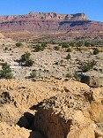
The mid section of Lockhart Wash |
 |
#img_7620
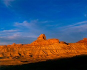
Lockhart Wash, near the San Rafael River |
 |
#473-4
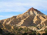
Windowblind peak, benches SW of the peak, on the road falloff Utah |
 |
#img_7554
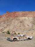
The Wikiup |
 |
#img_7500
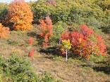
At the Dexter mine, Calf Mesa |
 |
#img_6415
Along the Wardsworth Peak trail, South of Strawberry Peak |
 |
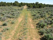
#img_5211
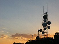
The antennas atop Cedar Mountain |
 |
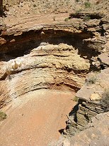
#img_5163
One of the old roads on Cedar Mountain |
 |
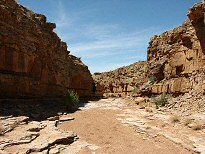
#img_5067
End of the trail, White Horse Canyon, below the road |
 |
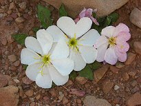
#img_5064
White Horse Canyon, below the road |
 |
#img_5052
Evening Primrose, fully open Oenothera caespitosa? Mexican Mountain Road |
 |
#458-1
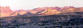
Window blind peak, bottleneck peak, assembly hall peak Turkey audible. Winter sun shines up valley/flats giving more even illumination and more dramatic angle. along mex mt rd, 1/4 mile further along |
 |
#459-4
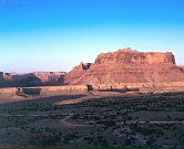
the reef, west side slope just above second gate on mexican mt rd |
 |
#459-3
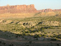
mexican mt and the cliffs this location is very good for sun angle! slope just above second gate on mexican mt rd |
 |
#img_5005
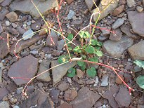
Bench above the end of the Swazy's Leap trailhead |
 |
#img_4996
Desert Trumpet. The tall-standing stalk stays until trampled, leaving the desert scattered with veritcal pods with "feelers" Mexican Mountain Road |
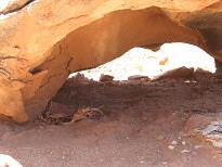 |
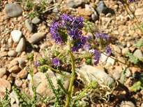
#img_4960
Weathered Limestone |
 |
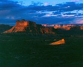
#img_4934
Phacelia. Grows very thick in some places in the Swell. Jackass Benches |
 |
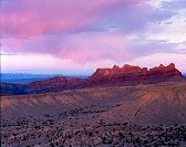
#461-3
mexican mt metered 10 sec. jackass bench, northernmost point |
 |
#457-4
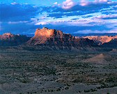
reef tooth, between river exit and black dragon canyons jackass bench, northernmost point |
 |
#460-1
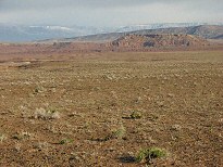
mexican mt jackass bench, northernmost point |
 |
#img_4800
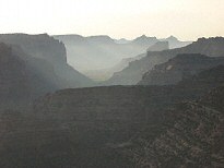
The red ledges (lower part of hills), distant shot |
 |
#img_4794
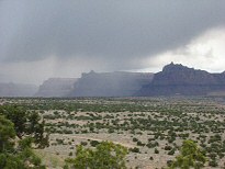
Morning view of the San rafael River valley East side of the Wedge |
 |
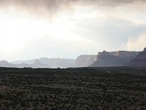
#img_4768
Rain along the Mexican Mountain road |
 |
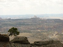
#img_4677
The cliffs east of Mexican Mountain Road Jackass Benches |
 |
#img_4661
The canyons of th enorthern San Rafael. Window Blind Peak is prominent. |
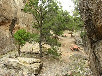 |
#img_4659
Some of the picnic sites at the Cedar Mountain Recreation Area |
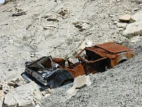 |
#img_4639
Decrepid cars tossed off the cliffs Castle Dale to Buckhorn Well road |
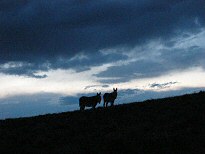 |
#img_4629
Two of the many wild donkeys living near I-70 |
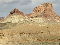 |
#img_4554
Assembly Hall Peak (right) The Bridge, San rafael Swell |
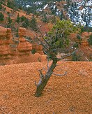 |
#439-2
small pinion pine overcast, facing sun Losee canyon, Arches trail loop, above the wooden stairs, top of ridge |
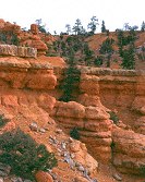 |
#439-4
pink cliffs detail Losee canyon, Arches trail loop, near the wooden stairs |
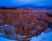 |
#453-4
silent city, whole canyon diffuse light on the scene, camera facing north metered 2 sec inspiration pt |
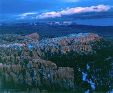 |
#456-4
sinking ship, powell point diffuse light on the scene, camera facing north inspiration pt |
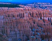 |
#451-2
silent city diffuse light on the scene, camera facing north ack! metered with dome, way overexposed! inspiration pt |
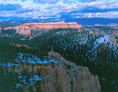 |
#453-2
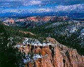
pink cliffs, south side of the Paria overlook, Powell Point illuminated Piracy point @ 7th turnout (big) =Farview point |
 |
#437-1
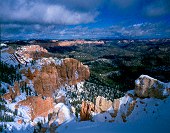
pink cliffs, south side of the Paria overlook Piracy point @ 7th turnout (big) =Farview point |
 |
#436-2
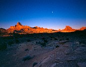
the eastern wall of the pink cliffs storm blowing in from south Rainbow point |
 |
#445-4
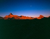
San Rafael Valley, looking towards the Wedge Overlook some fwd tilt Mexican mountain rd |
 |
#447-2
San Rafael Valley, looking towards the Wedge Overlook some fwd tilt Mexican mountain rd |
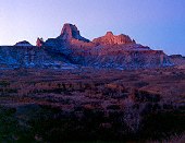 |
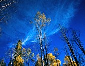
#446-4
Peaks behind (southeast) of windowblind metered 60 sec, shot 90 window blind peak? mexican mt rd |
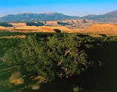
 |
#401-2
Aspen, clouds Full rise, gathered bellows Nebo loop, payson canyon, Shram trail |
 |
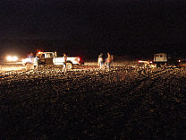
#406-1
white cliffs Southern Tarantula mesa, from border of Capitol reef and GS-E |
 |
#132-3230_img
Copy and paste this to the browser address window: http://chem.dynu.com/photo/photos/2002/sep04/second.avi |
 |
#132-3226_img
At last, Dad arrives to save the day! But notice that front wheel. Hmmmm. To see the movie of the first attempt, copy the following into your browser: http://chem.dynu.com/photo/photos/2002/sep04/first.avi |
 |
#131-3183_img
The evening draws on into night. |
 |
#131-3176_img
The Jeep has arrived, and the truck, which first offered assistance, has gone to get more of it's truck pals to help. |
 |
#131-3167_img
Perhaps jacking the vehicle up and filling in the depressions will help... |
 |
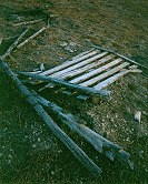
#131-3164_img
The Event has begun. Shovels and a chain are being employed, sadly to no avail. |
 |
#403-3
decrepid gate and fence, dusk by the sunflowers |
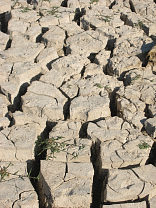 |
#131-3160_img
The offending mud flats: two inches of dried clay, eight inches of soft and slippery mud. |
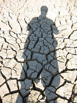 |
#131-3158_img
Your photographer, a few days before the Event. |
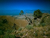 |
#403-4
Utah valley full extinguish (not much, really) Many big spiders in the tree. near peak of West mt |
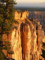 |
#129-2971
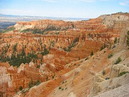
The Bryce Point overlook |
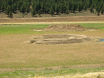 |
#129-2956
Some strange-looking man-made formations near the Tropic Reservoir |
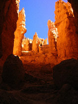
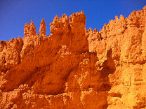 |
#129-2950
More shots with the b/y pol |
 |
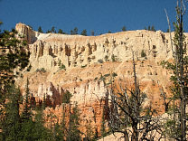
#129-2948
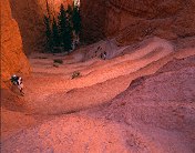
The Southern set of switchbacks Bryce Canyon National Park, Navajo Loop |
 |
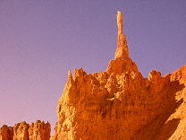
#129-2945
The upper overlook, Inspiration Point Bryce Canyon National Park |
 |
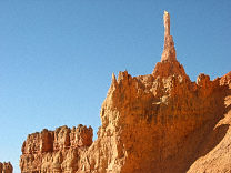
#129-2939
The Sentinel, shot with a blue/yellow polariser |
 |
#129-2937
The Sentinel Bryce Canyon National Park, Navajo Loop |
 |
#128-2862
Morinings were windless, so smoke form the fire settled into the Canyons. The lights of Tropic Utah are just visible |
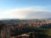 |
#128-2809
The Sevier Mountain fire |
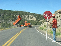 |
#127-2792
Moving dirt from the cliff just around the corner (eroded down to the roadbed) to butress stream erosion here. |
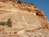 |
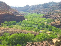
#127-2779
Cross-bedding on the sandstone, demonstrating the dune origin of this sand |
 |
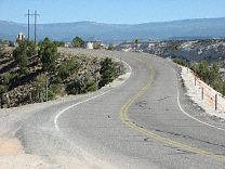
#127-2761
The Escalante River Valley |
 |
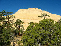
#127-2758
The million dollar road, Escalante to Boulder. |
 |
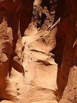
#127-2745
Navaho sandstone domes along the Burr trail |
 |
#127-2733
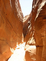
The entrance to Peek-a-Boo slot canyon Dry Fork of the Coyote Grand Staircase-Escalante Monument |
 |
#127-2732
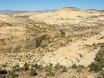
The Narrows Dry Fork of the Coyote Grand Staircase-Escalante Monument |
 |
#127-2718
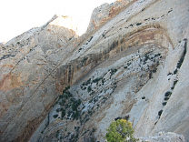
Shot from one of the overlooks along the Boulder-to-Escalante section of Highway 12 Calf Creek |
 |
#127-2709
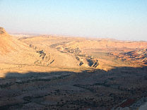
One small section of the Navajo sandstone "teeth" on the Western edge of the Grand Gulch. Strike Valley Overlook Capitol Reef National Park |
 |
#127-2702
The Southern end of the grand gulch. These are the edges of upturned layers of rock, the upper layers have eroded long ago, leaving only a small ridge. I'm standing at the Strike Valley overlook, perched atop a 45 degree layer of Navajo sandstone. |
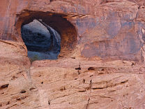 |
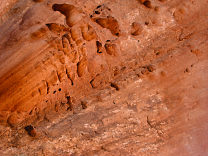
#127-2701
Another unnamed pothole arch |
 |
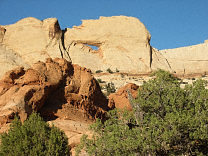
#126-2689
More swiss cheese erosion along the Strike Valley Overlook road |
 |
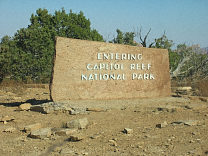
#126-2671
Peek-a-boo rock (?), on the Strike Valley Overlook 4WD road Capitol Reef National Park |
 |
#126-2670
Capitol Reef sinage at the Burr Trail entrance |
 |
#126-2647
Boulder mountain, with smoke from the Sevier mountain fire |
 |
#126-2646
Koosharem Reservoir, the only full body of water I have seen this year in Utah |
 |
#124-2422
Wall, swiss cheese holes carved by the stream Long Canyon Burr Trail Utah |
 |
#123-2400
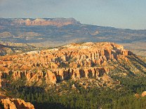
Goblins and Hoodoos (made of much harder sandstone than those in Goblin Valley or Bryce) Devils Garden Outstanding Nature Area 12 Miles off Utah Highway 12 next to the Hole-in-the-rock Road, Grand Staircase-Escalante Monument, |
 |
#123-2356
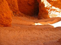
Bristlecone Point, with Powell Point (south end of the Aquarius Plateau) in the background Bryce Point Bryce Canyon National Park Utah |
 |
#122-2288
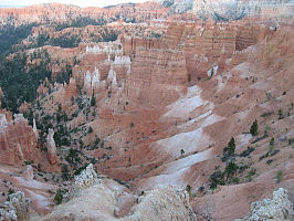
Switchbacks on the right side of the Navaho Loop Sunset Point Bryce Canyon National Park Utah |
 |
#119-1928_img
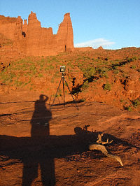
Again, my shooting setup, later in the afternoon than the previous shot Fisher Towers BLM area |
 |
#119-1905_img
Calf Creek, just below the Lower Falls, shot from US-24 |
 |
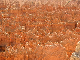
#118-1895_img
The white band is ash fromt he eruption of Mt. Boulder, 50 million years ago Bryce Canyon National Park |
 |
#118-1884_img
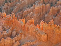
Afternoon glow in the Silent City Bryce Canyon National Park |
 |
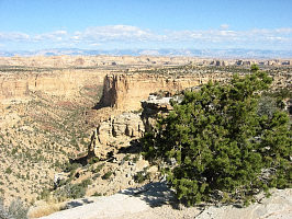
#118-1855_img
Hoodoos in the Silent City Bryce Canyon National Park |
 |
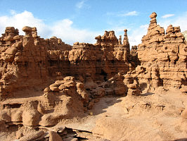
#118-1833_img
Inside the San Rafael Swell |
 |
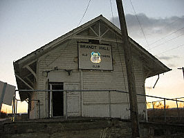
#117-1797_img
Behind the big green dome Goblin Valley State Park |
 |
#117-1755_img
A boom town in the uranium-mining days ('60's and '70's), now barely a town at all. Cisco Utah |
 |
#114-1428_img
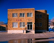
The old station in Spanish Fork was used for a time as a train union lodge hall. Spanish Fork UT |
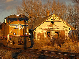 |
#113-1385_img
One of the many IIP (Intermountain Power Project) coal trains and UP (Union Pacific) freight's running through central Utah daily. |
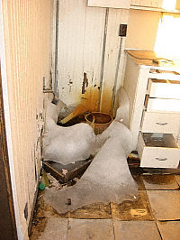 |
#113-1350_img
The problem with water dripping in an unmaintained building all winter. |
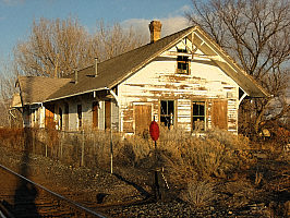 |
#113-1345_img
Old station (next to the Utah Livestock Auction) Near Spanish Fork UT |
 |
#183-1
A small grove of maple, low on the South side of the Alpine Loop. |
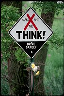 |
#1563
The sign that marks where a person died in a car accident. These are found all over South Dakota |
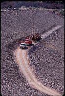 |
#1705
Work on the face of Deer Creek Dam. A rare sight. |
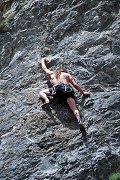 |
#1713
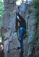
Brian, and others, climbing on a nice set of routes just below Ophir, Utah |
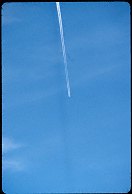 |
#1720
A unique effect. If you look closely, you can see the shadow of the contrail. This happens only when the contrail, the sun, and you are in the proper alignment. |
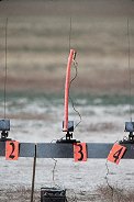 |
#1728
The oddest rocket of the day. It's one of those tubes you swing over your head that makes harmonic whistling. |
 |
#1487
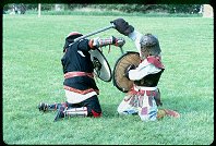
Ulrick (on the left) and Sir Tarrach (right). |
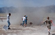 |
#1731
The dust devil. |
 |
#a007-08
An extraordinary story: this kid lost his rocket out in the desert, and the dust devil dropped it right at his feet. |
 |
#1574
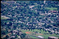
My parents house is there, somewhere. Provo Utah, Edgemont area. |
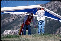 |
#1585
Moving to the launch slope. |
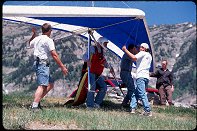 |
#1586
Waiting for the strong part of the wind cycle. |
 |
#m012-07
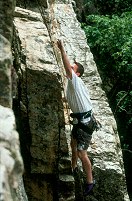
His first time on the rock |
 |
#1485
In the red cloak is Josph. |
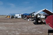 |
#1730
Prep facilities before the dust-devil hit. |
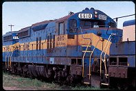 |
#1805
At the DM&E yard Huron SD |
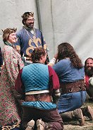 |
#n052-4
Their Majesties got Cian pretty good. He was called up during the opening ceremonies, and His Majesty talked about there being unfinished business from Pennsic. He then described Cian's feats of derring-do on the Pennsic field in great detail, finishing with "We have a special award for this." |
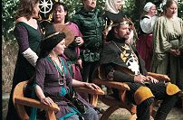 |
#n053-15
The Lord and Lady Heir of Northshield, Sir Saeric Scireham and Lady Yasamin al-Hadiyya |
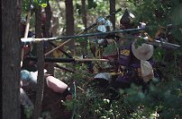 |
#n053-19
Naz, in the Woods Battle. |
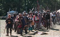 |
#n053-4
The mighty Host of Calontir marches to morning Court. |
 |
#n054-3
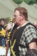
The marshal... |
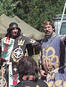 |
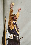
#n054-5
...and royalty address the fighters before the woods battle. |
 |
#n055-10
Though I don't know why, Fernando seemed to enjoy the gift of PlayDoh, almost as much as the Calontir gentle who ate some. |
 |
#b049-16
Baron Aleksander and other watch the tourchlight tourney. |
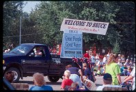 |
#1885
More of the Bruce Honey Days parade. |
 |
#1690
The mouth of Echo Canyon, Utah |
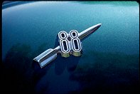 |
#1878
The "Rocket 88" |
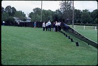 |
#1689
The small, traveling model of the Vietnam Wall in Elkton, SD |
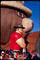 |
#1757
More slides from the Provo 4 July celebration. |
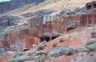 |
#a012-06
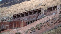
This facility looks about 100 years old, and probably processed fluorspar (Na3AlF6) for the aluminum. |
 |
#a012-07
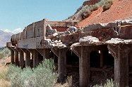
The long block house is probably where the ore cruchers were. |
 |
#a012-09
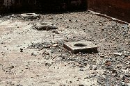
The bottom of the plant, where slurry? was loaded into wagons/cars for transport. |
 |
#a012-10
Inside the loading bay. |
 |
#1745
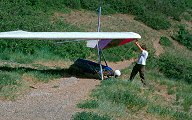
Checking the balance of the glider before launching, Squaw Peak, over Provo, UT |
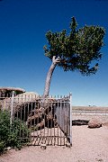 |
#1750
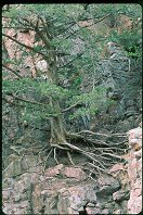
A tree growing in the rock, I80 in Wyoming |
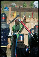 |
#2194
Northshield, defending the fort. Sir Lars? |
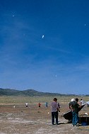 |
#a007-06
The debris left in the sky afterthe dust devil dissipated, UROC launch, Utah |
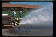 |
#1318
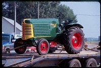
The semi-annual flushing of the water hydrant system, Brookings SD |
 |
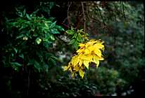
#1847
Shots form the Bruce, SD Honey Days parade. |
 |
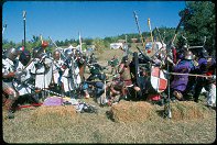
#045-08
The ones on the end go first. |
 |
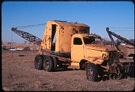
#2165
Company Nevermore on the left side of the frame, deploying from reserve to engage the south end of the bridge. |
 |
#251-10
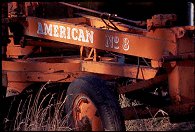
One of the old work trucks, a crane. D&I railyards Del Rapids SD |
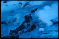 |
#241-35
Snow and ice over a tributary of the Provo River, Provo Canyon, Utah. |
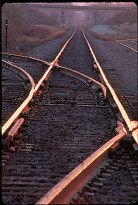 |
#218-10
Tracks illuminated by the dawn, DM&E crossing 22nd Ave., Brookings SD. Brookings SD |
 |
#219-11
Standing Guard over the Fallen. Memorial Day, Brookings War Memorial. The cadets of the SDSU ROTC. Brookings SD |
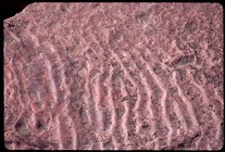 |
#226-09
Ancients waves in the seafloor recorded in Sioux quartzite, Palisades SP Garretson SD |
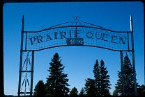 |
#208-02
The Prairie Queen Cemetery, names after an old church of the same name, now defunct. A few miles south of Volga SD |
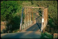 |
#1415
Bridge over the Big Sioux Palisades SP Garretson SD |
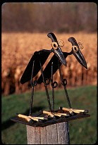 |
#097-23
One of several rather amusing figures made of scrap iron on Hwy 14 East of Brookings, SD |
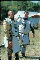 |
#2179
Lt. Moth and Father Tyresius of Company Nevermore |
 |
#049-23
Sunrise over the 3M surgical instrament sterilization facility (60 Ci gamma souce inside). Brookings SD |
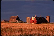 |
#062-08
The sun sets on another South Dakota farm US14 East of Brookings South Dakota |
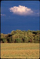 |
#062-30
Sky, clouds, and soybeans Just across the border from South Dakots into Minnesota |
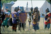 |
#2139
Holding the shield with the crown on it is HRM Fernando of Calontir |
 |
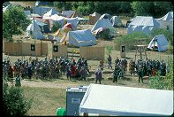
#2144
In the bright red surcoat, black helm, is HE Viscount Alaisdair, from Nordskogen. |
 |
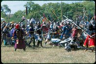
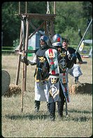
#2155
The Bridge Battle just underway |
 |
#2147
HSH Prince Tristan (from the back), HSH Princess Eilika |
 |
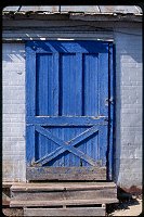
#097-20
One of several rather amusing figures made of scrap iron on Hwy 14, 5 miles East of Brookings, SD |
 |
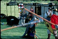
#1097
An interesting building (the side of a building supply house). Dell Rapids SD |
 |
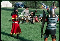
#1497
Hagan and Josph pause before the Princess. |
 |
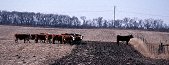
#1499
This sort of fighting is known as Bear Pit, where the winning fighter holds the field until he or she is defeated. |
 |
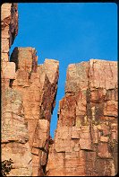
#275-13
"In any heard, there will be found a leader, one who will cross the untrod ground, to seek the untamed land." |
 |
#1412
Palisades. Note the EBX sky color, more cyan than blue |
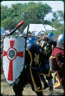 |
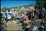
#2146
The fighter behind the white shield with the red cross is Castile of the black hand, the one more-or-less in the middle with his face obscured by his sword is THL Owen Alun, and the one at the far right with the red drape on his helm is Kenneth di Katze. All three are from Nordskogen |
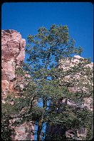 |
#1244
Trees growing in the rock at Palisades State Park, SD |
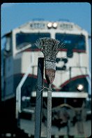 |
#1280
"So much depends upon the broom, dusted with rust, besides the old traintrack." |
 |
#2167
Gareth the Black with spear. |
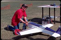 |
#1181
Fueling at the Brookings RC Aerodrome |
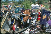 |
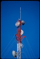
#2170
Little Rory holding a Scutum in the foreground. |
 |
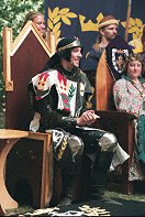
#1049
Another entry in the antenna series |
 |
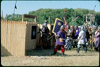
#n052-26
Tristan Prinz von Eisig, The Prince of Northshield opens morning court. |
 |
#2193
Calontir, attacking the fort. |
 |
#1495
The Royal Court. |
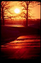 |
#247-35
Sunset over the melting snow Oakwood Lakes State Park Bruce SD |
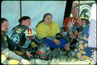 |
#2188
...Lady Micheline Elphinstone of the Shire of Falcon's Keep, called Meehesh, looking pensive and soaking up the reflection off all the Brass Hats, A Lost Boy whose name I don't know, and His Majesty King Fernando of Calontir. |
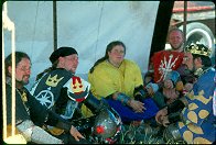 |
#2187
From left to right, His Excellency Sir Saeric Scireham, Lord Heir to the Throne of the Northshield, His Highness Sir Tristan von Eisig, Prince of the Northshield... |
 |
#1490
Having been hit in the right arm, Sir Tarrach continues the fight with the left |
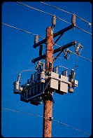 |
#1153
South Dakota: prettiest telephone poles in the world |
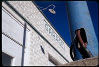 |
#263-10
The last object left of a service island, Sinai SD |
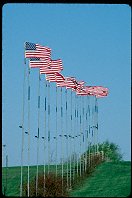 |
#1414
Flags outside Baltic, SD Note: this slide is flipped to show the flags the customary direction |
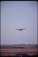 |
#1184
The real thing, BKX |
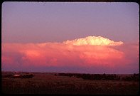 |
#1824
Distant storm, Northern Nebraska |
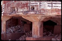 |
#1821
Some shots form the old Iron or aluminum mill by Goshen. |
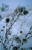 |
#088-26
"Cold. Oh so very cold"
Shot during a break in the clouds of a very cold and foggy day (T = -10 F), kneeling in about 2 feet of snow Far Western side MN |
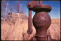 |
#269-28
An old farmstead, shot in sunlight filtered through the smoke of a prairie fire. |
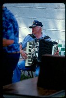 |
#1898
Either this man, or his accordian, is named "Don". |
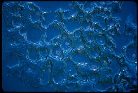 |
#272-06
Rocks melting into the lake ice, MLSP |
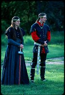 |
#1471
Photos taken at the Lusty Day in May activity, sponsored by the Shire of Western Keep, in the Principality of Northshield of the Middle Kingdom, the Brookings SCA organization. See the Exhibit for the best-of photos. See also 25May00. Lord and Lady Heir of Northshield, Sir Tristan von Eisig and Lady Eilika von Lutzen Oakwood Lake State park Bruce SD |
 |
#n052-36
His Excellency Sir Saeric Scireham, Lord Heir to the Throne of the |
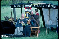 |
#1518
The Princess and ladies sit before the pavilion during a break in the fighting |
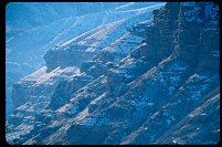 |
#239-33
Cliffs above the mouth of Echo Canyon, Utah |
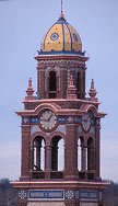 |
#232-35
Tower on the Plaza, Kansas City. |
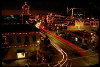 |
#234-02
The Plaza Kansas City KS |
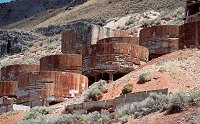 |
#a012-08
This was a gravity-fed plant. I presume there is a mine above the plant. |
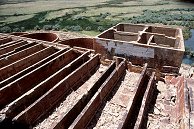 |
#a012-19
They feed into many large round settling(?) tanks. |
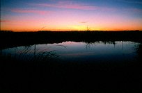 |
#a074-28
"Calm night, the Prairie"
A typical summer night on the prairie, with a typical South Dakota sunset. East of town, looking towards Brookings SD |
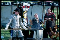 |
#1476
Protecting the Princess from wayward combatants. Or vice versa. |
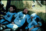 |
#2189
Modred Blackhorse, Gareth the Black and Rodney of Wendigo of Company Nevermore, finding shade by the haybales. |
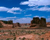 |
#311-3
Three Gossips and The Organ Arches National Park Moab Utah |
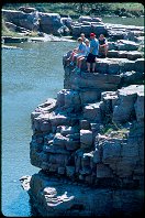 |
#1283
Summoning the courage to jump, PSP |
 |
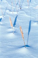
#b083-01
"Grass and Ice"
A single stand of grass survives the prairie winter winds. The dark bands in the snow come from alternate deposits of snow and dust blown from the surrounding fields, then scoured down by the dry winds of winter South of town Elkton SD |
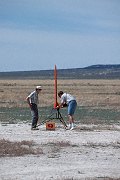 |
#1721
Shots from the UROC (Utah model rocketry society?) annual launch, early in June in the desert west of Provo Pony Express Launch Site |
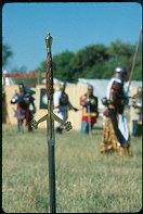 |
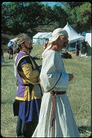
#2097
The Prize: a beautifully-crafted Sword Behind the sword to the right (white, black and yellow) is Lord Michael Nymandus, of Lonely Tower. |
 |
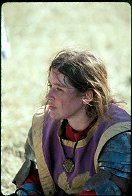
#2102
In purple and gold with the coronet is Iamys Makillewray, Baron of Lonely Tower, beside Lord Ansgar Christensen. |
 |
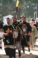
#2174
Lady Ianka, after the field battle. |
 |
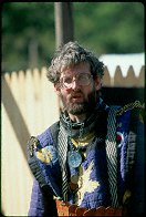
#n053-10
The mighty Host of Northshield marches to morning Court. (corrected) |
 |
#2186
Lord Aethelwyn Aethelredson, of Lonely Tower. |
 |
#n052-5
Cian fell in hook, line, and sinker. He was sure he was about to get a Sword of Calontir. He didn't notice Sir Riik, his knight, creeping stealthily up the center aisle... Then His Majesty said, "But that's not why you're here," and Sir Riik chimed in begging the boon. Cian was completely blown away. It was fun watching that one from behind the thrones |
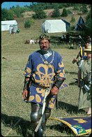 |
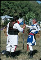
#2192
The guy in the background holding the spear over his shoulder is Lord Pepin... oh, and His Majesty Fernando is in there too... ;) |
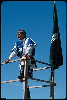
 |
#2135
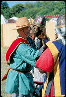
The winner of the Great Sword Tournament, being handed the prize. |
 |
#2133
The sponsor of the Great Sword Tournament |
 |
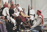
#2136
With the red sash, His Lordship Owain ap Bleddyn y Llwyd (from Mag Mor, Kingdom Chirugeon of Calontir). See 24Sep00C for his appearance in Calontir Court. |
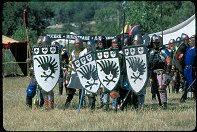 |
#2141
Company Nevermore before the field battle |
 |
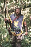
#n051-10
These are photographs taken at an SCA event, Armorgeddon, 14-17 Sept 2000, at Union County State Park south of Sioux Falls SD. |
 |
#n051-28
The marshal's tour of the woods battlefield. Vladimir Zinonovich (mka David Henderson), who is from Vatavia. |
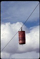 |
#1037
A barrel on a line. I asked some kids, they said the fire department uses it for practice. It's in the Elkton city park |
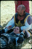 |
#2175
Sitting is Sir Wolfgang from Castel Rough and laying down is Lady Janac Raventhourne from Shattentor after finishing up her last resurrection and watching the last of the bridge battle. |
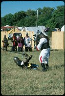 |
#2099
See that fighter on the ground? He defeated Jarl Thjothrekr, who had this significant advantage. |
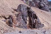 |
#1710
An old ore chute for getting ore into trucks at the roadbed. Ophir UT |
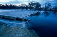 |
#a101-13
Normally there is a 6-8 foot waterfall here. That night the basin was filled. |
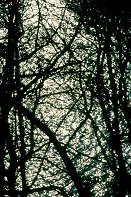 |
#a101-30
The Sun's reflection off floodwaters, shot through spring-bare brances |
 |
#a096-35
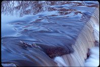
Spring runoff over the dam in Garretson SD. |
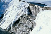 |
#a097-13
Normal winter flow over the same dam. |
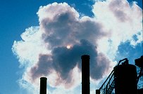 |
#a091-06
All shots here were done on Fuji MS100/1000 shot at ISO 400. I don't think the experiment was all that successful. Maybe this film is okay at 100, but the contrast is too high at 400, and the Dmax is too low. |
 |
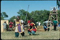
#2087
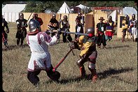
Bear-pit fighting in the privately sponsored Great Sword Tournament. |
 |
#a100-03
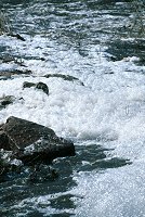
Shots of the flooding conditions, Spring 2001, South Dakota. All the dead fish protein made for some very thick foam as it came over the dam |
 |
#2095
Asa vs. (if I am not mistaken) the Baron of Mag Mor, Brannac MacConn. |
 |
#a104-16
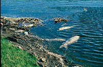
After the Spring thaw, many large fish were found dead, more than the usual, perhaps owing to the unusually cold and long winter this year. Oakwood Lake W. of Bruce South Dakota |
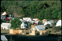 |
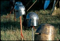
#2106
Camp Calontir, and the fort |
 |
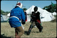
#2107
Outside the Border Down pavilion |
 |
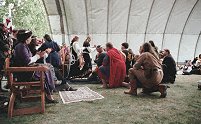
#2122
Lord Kristoff Fuger von Augsburg (the Northshield and Middle Kingdom rapier champion, in black) teaches... |
 |
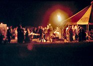
#n051-14
All those who helped during the uncommonly fierce rain at WW are given an award |
 |
#n051-20
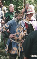
Night at the Calontir pavilion. |
 |
#n051-33
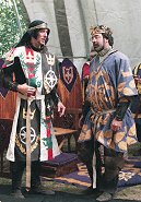
The King devises a plan so cunning, it couldn't possible fail a second time! |
 |
#n052-11
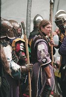
The Royalty chat following morning Court. |
 |
#n052-17
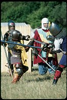
In the Hall, following opening ceremonies, preparing for the Woods battle. In the background - Graf Volkmar Katzbalger giving water to someone that looks like Sir Roger. In the foreground, Lady Corasander nic Murtrie (with her helm off), Lord Aubrey d'Aubusson and (maybe) HE Logan. |
 |
#2094
Sir Semjaka, and Faolan, with Hrothgar the Smith, of the Barony of Forgotten Sea looking on. |
 |
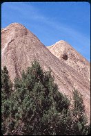
#a097-27
When using 'tulip' lenshoods on wide-angle lenses, don't get them twisted around. |
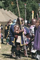 |
#n052-22
Hugh Prescott (holding the spear), awaiting the woods battle. |
 |
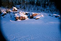
#1708
Mine tailings in Sunshine Canyon, Utah. These were left by the Sunshine mine near 1900. |
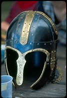 |
#2115
The Coppergate helmet that won the Arts & Science competition, crafted by Jurgen of Northshield. |
 |
#088-12
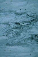
As the snow falls, it gets layered with dirt blown off the fields. When the wind blows harder, the snow is scoured off, leaving conture lines visible on the surface Far Western side MN |
 |
#a072-12
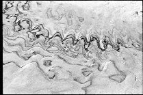
"Rocks and Waves"
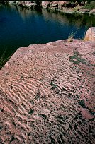
This is Sioux Quartzite. It was layed down 2 million years ago on the bottom of a shallow lake. Due to silting, the wave pattern formed during mild times were preserved throughout the yearly floods. This patterned sand was compressed into the rock you see Palisades State Park Near Garretson SD |
 |
#202-27
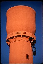
The "Cup" water tower (telephone lines removed digitally) North side of town Pipestone MN |
 |
#105-03
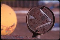
The left-turn bliner from an old worktruck East of town, by the D&I railyard Del Rapids SD |
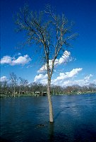 |
#a100-24
Flooding of the Big Sioux River Del Rapids SD |
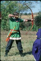 |
#2138
THL Robin Arthur Kirkethe, the Archery Marshal for Northshield |
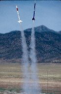 |
#1727
A drag race, pairing two rockets to see who's will go highest. The black one won. |
 |
#a098-13
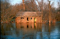
These cattails are 6 feet tall |
 |
#a101-34
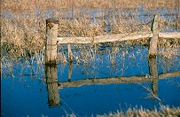
In the Spring of 2001 the Big Sioux river in Eastern South Dakota flodded. This is taken after the river started coming down, about a week after the rains stopped East side of town Egan South Dakota |
 |
#a100-10
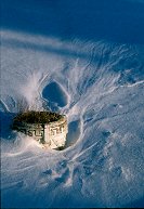
Flooded ditch burrows by the road. |
 |
#a099-16
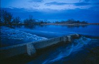
Shots around the cemetery... |
 |
#a101-12
The big Sioux River at Flandreau, SD. |
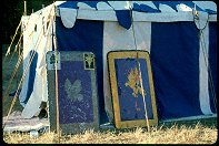 |
#2200
Hugh & Lynett's tent with their Shih tzu head sticking out the door. The shield with the bull on it is Master Chiddiock the Younger's of Calontir. |
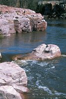 |
#a096-27
Palisades during the spring runoff. I normally shoot standing four feet below that mostly-submerged rock. |
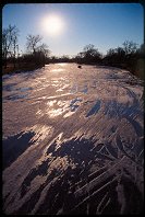 |
#252-14
Frozen river, and car/snowmobile tracks, during the spring thaw, Dell Rapids SD |
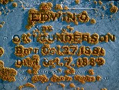 |
#207-30
The tombstone of Edwin Gunderson, age 11 months, beset by lichen. Prairie Queen Cemerery South of Volga SD |
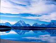 |
#234-1
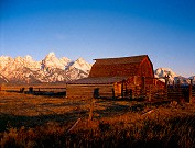
Mt. Moran and the Teton range, reflected in (14% capacity) Lake Jackson. Teton N.P. WY |
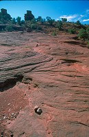 |
#2355
Weathered slickrock, and a stone cairn marking the towers trail |
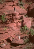 |
#2411
Two other hikers on the trail, giving a sence of the size of these sandstone formations. He is standing on a very small rise in comparison to the towers. Fisher Towers |
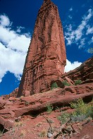 |
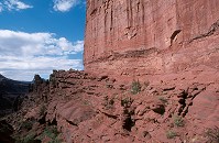
#2407
"The Titan" Fisher Towers BLM area Moab UT |
 |
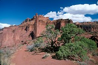
#2312
Hiking trail below one of the sandstone towers. Fisher Towers BLM area, S-128, NE of Moab UT |
 |
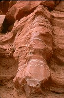
#2324
Wide-angle view of the towers from the far end of the 2.2 mile trail. Titan is in the center of the frame. Bring plenty of water, you'll want to spend some time out there. Fisher Towers BLM area Moab UT |
 |
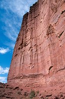
#2405
Medium shot of a wall, showing how the sandstone has over time 'melted' during rainstorms. This is not very solid sandstone. |
 |
#2314
The hiking trail below one of the magnificent Towers. |
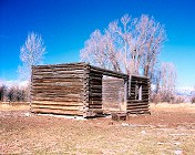 |
#233-1
This is the schoolhouse my grampa attended in his youth. It's located on the South Park Loop. It was subsequently used by my Uncle Nate as a workshop. The roof and floor are now gone, and only cows enjoy this view of it. South park Jackson WY |
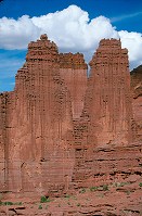 |
#2337
Three of the four Fishers Towers, Titan not shown. Fisher Towers BLM area |
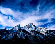 |
#234-2
A relatively small peak in the Teton range, with clouds. Teton N.P., Jenny Lake loop WY |
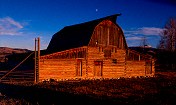 |
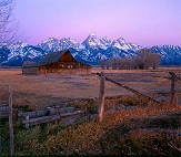
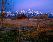
#235-3
Sunset on one of the barns on Mormon Row, with moon. Antelope Flats, Teton N.P. WY |
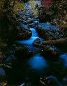 |
#239-1
Cascades on the Santaquine River Santaquine Canyon Above Santaquin Utah |
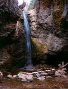 |
#249-1
The Grotto Payson Canyon (Mt. Nebo Loop) Utah |
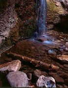 |
#250-3
Water basin, The Grotto falls Payson Canyon (Mt. Nebo Loop) Utah |
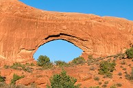 |
#2249
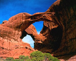
South arch The Windows, Arches N.P. |
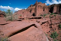 |
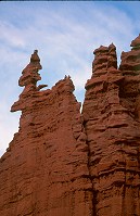
#2325
Rock formations, Titan, part of the cirque at the trail end |
 |
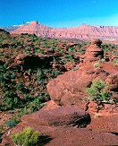
#2414
Climbers, nearing the top of one of the smaller towers Fisher Towers |
 |
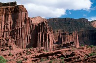
#306-1
From left to right: Castle Tower, The Rectory, Priest and Nuns, and Parriot Mesa Fisher Towers BLM area Moab Utah |
 |
#2329
To the East of the trail end, inaccesible by formal trail Fisher Towers |
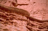 |
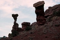
#2406
Layer of conglomerate in the sandstone Fisher Towers |
 |
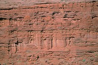
#2304
"The cobra" |
 |
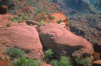
#2341
Weathered wall Fisher Towers BLM area |
 |
#2321
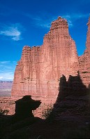
Weathered sandstone |
 |
#2318
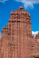
One of the Towers, sillouettes of sandstone formations, and the hiking trail barely visible at the base. |
 |
#2339
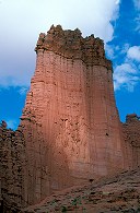
A shot of the sandstone layering and weathering seen in the Towers Fisher Towers |
 |
#2413
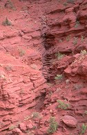
One of the magnificent towering sandstone fins Fisher Towers BLM area, off S-128, NE of Moab UT |
 |
#2311
The Towers hiking trail as it passes through one of the ravines between the towers. The metal ladder is visible. |
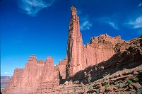 |
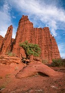
#2354
The 900 foot Titan, and lesser Towers Fisher Towers |
 |
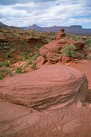
#2388
Sunset, juniper at the Towers Fisher Towers |
 |
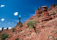
#2402
Weathered rock, castle rock in distance Fisher Towers |
 |
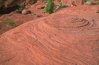
#2415
Rock formations, including the Cobra Fisher Towers |
 |
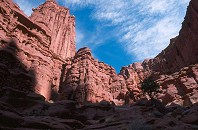
#2384
Beautifully-weathered layered sandstone Fisher Towers BLM area |
 |
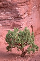
#2317
A shot out of one of the cirques between the towers |
 |
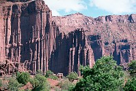
#2310
Juniper, the pink-orange sandstone of the towers Fisher Towers BLM area, off S-128 |
 |
#2348
Weathered rock wall |
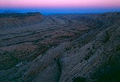 |
#357-2
The Waterpocket Fold, Grand Gulch, from the Strike Valley Overlook |
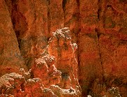 |
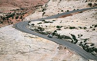
#350-30
What follows are many shots at the Bryce overlooks along the road up from Rainbow Point Bryce Canyon National Park |
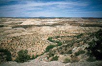
 |
#353-20
Over-The-Rocks Overlook, S-12 |
 |
#354-24
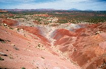
Boulder Creek Valley (Deer Creek in the background) |
 |
#355-08
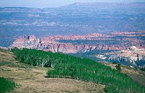
Long Canyon overlook, North end of Long Canyon, toward the Circle Cliffs and the Henry Mountains |
 |
#356-03
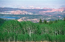
The northern end of the Circle cliffs |
 |
#356-09
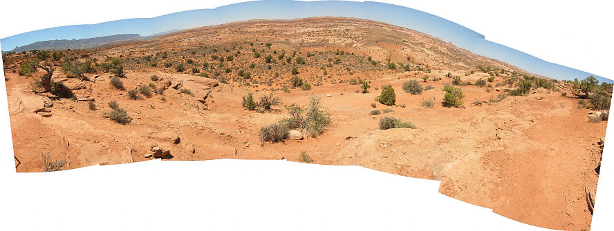
Waterpocket Fold, Impossible Peak (?), in the background is Wildcat mesa |
 |
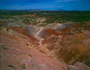
#127-2780
Panorama along the trail leading down to the Dry Fork of the Coyote (below are the Narrows, and three slot canyons) |
 |
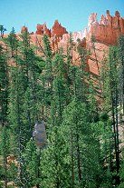
#357-1
Long Canyon overlook, North end of Long Canyon, toward the Circle Cliffs and Capitol Reef |
 |
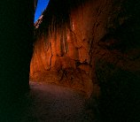
#350-17
Owl Rock, near the Navajo/Peekaboo junction Bryce Canyon National Park, Navajo Loop |
 |
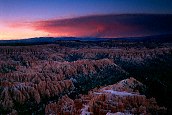
#358-3
Narrows, Dry Fork, Coyote Canyon Hole-In-The-Rock road |
 |
#359-4
Smoke fro the Sevier Mountain fire Bryce Canyon National Park |
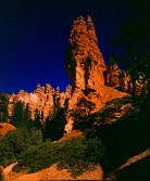 |
#369-4
Shots in and along the Navajo Loop Trail |
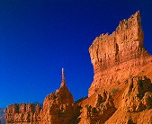 |
#371-3
The sentinel |
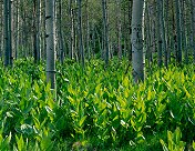 |
#374-2
Along the Alpine Loop |
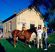 |
#390-1
Old Relief Society building The Oliver Family Mona` Utah |
 |
#sanrafaelnorth
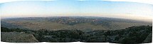
Note the (slightly exagerated) bulge of the Swell |
 |
#127-2781
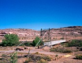
Panorama form the Over-the-Rocks lookout, highway 12 |
 |
#322-2
Dewey Bridge over the Colorado River Dewey Utah |
 |
#265-3
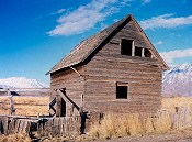
This old house is made of 2x4's, all laid flat to make the walls. A very strange method of construction. lakeside, west of Spanish Fork Utah |
 |
#270-20
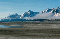
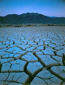
Part of the vast mud pan left by the diminishing Lake Jackson, Teton range in the background. Teton N.P., North end WY |
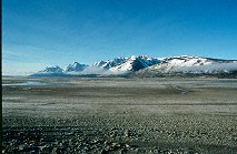 |
#270-22
The vast mud pan left by the diminishing Lake Jackson, Teton range in the background. Teton N.P., North end WY |
 |
#271-33
Ducks, in BYU's canal, by the bell tower |
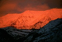 |
#272-15
Alpenglow on Cascade Peak, shot from the Valley, Sunset. Utah Valley Provo UT |
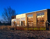 |
#297-3
Old buildings, Mona. (Color corrected with Autolevels in PS Elements to give the particular color of blue sky) |
 |
#1482
The feisty Arbon Arslan continues to fight having lost her legs to a clever blow from Hagan |
 |
#350-28
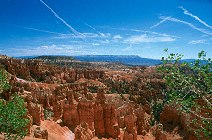
Contrails over the pink cliffs Bryce Canyon National Park |
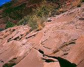 |
#312-4
Layers in the Navajo sandstone formation Arches National Park |
 |
#350-25
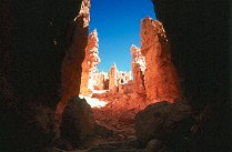
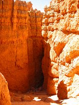
Looking up toward the switchbacks (all 28 of them), Wall Street Bryce Canyon National Park, Navajo Loop |
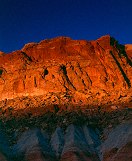 |
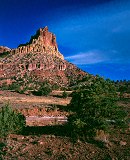
#329-4
A series shot at sunset on the Scenic Drive, stop #2 Capitol Reef National Park |
 |
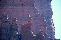
#332-2
Eph Hanks Tower, named after Ephraim Hanks, the first permanent settler in the Capitol Reef area Capitol Reef National Park |
 |
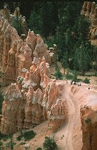
#337-26
Ascending the Corkscrew (ancient art line) |
 |
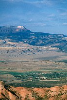
#349-07
Hikers on the Peekaboo loop trail, Bryce Point Bryce Canyon National Park |
 |
#349-12
In the distance, Powell Point, at the southern end of the Aquarius Plateau |
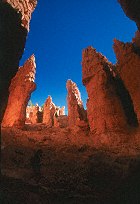 |
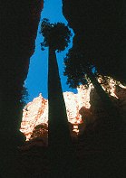
#350-02
Down in the canyon, on Navaho Loop trail. Bryce Canyon National Park |
 |
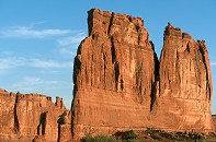
#350-07
Old Douglas fir tree at the Eastern end of Wall Street Bryce Canyon National Park, Navajo Loop |
 |
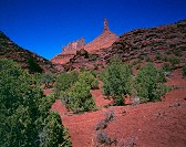
#2374
The Organ, sunrise Arches |
 |
#306-3
Receeding: Castle Tower, The Rectory, Nuns, and Priest Manti-La Sal Scenic Loop Professor Valley, off Utah 128 Utah |
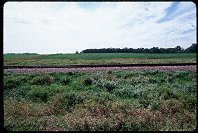 |
#2039
It is an effort of take pictures of the entire land surface of the planet... Looking North |
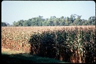 |
#2045
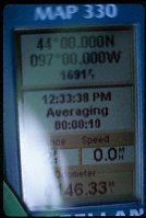
The confluence at 43º N 97º W is about 200 yards into this field. I'll come back after the harvest. |
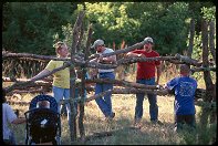 |
#2052
Shots of the SCA group Border Downs setting up for Armorgeddon (see 24Sep00). |
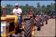 |
#2064
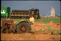
More shots from the Prairie Village tractor show. |
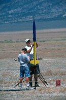 |
#l130-04
Preping a rocket for launch UROC Pony Express Launch Facility West Desert, about 15 miles South of Toole UT |
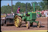 |
#2027
More shots of the Madison SD Prairie Village tractor-fest: The tractor pulls. |
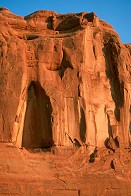 |
#2375
Detail, the wall East of Park Ave. Arches |
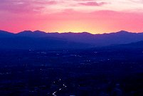 |
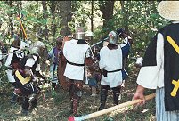
#a111-09
Orem, UT, at night, from the Squaw Peak Overlook |
 |
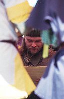
#n056-22
The Honorable Lord Julio Gava'n also of Coldedernhale |
 |
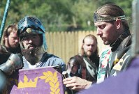
#n057-14
Tradition specifies that only those who are proficient in all weapons systems may be made Huscarls. Generally, the fighter must demonstrate a great degree of skill at arms, be honorable on and off the field, and be active in promoting fighting through marshalling, teaching, et cetera. |
 |
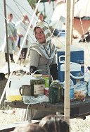
#n057-22
The royalty before the field battle. |
 |
#n057-24
Countess Aislinn, water bearing during the field battle. |
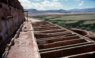 |
#a012-18
Troughs that are just under the crushers. |
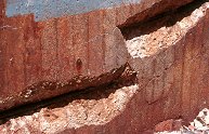 |
#a012-31
The salt causes the iron rebar to expand, blowing out chunks of concrete over the rebar. |
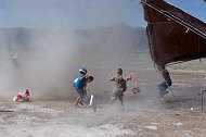 |
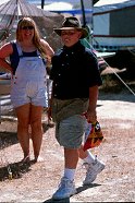
#1732
See the guy hanging on to the awning. He's about to go airborne (the only person to get off the ground that day) |
 |
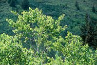
#2038
These shots are part of Project Confluence. Self portrait at the very spot. |
 |
#a108-23
Along the Alpine Loop Scenic Highway, between Sundance Ski Resort and American Fork Canyon. |
 |
#2037
The GPS confirms I have found the confluence of |
 |
#v115-07
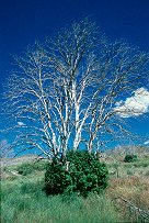
In 1999 there was a large fire South of Eureka, UT. All the trees were killed, and most have a clump of new growth around the base. |
 |
#v115-14
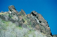
This is Paul Bunyon's Woodpile. It's lava that's been tilted on its side and weathered away until it looks like piles of cut wood. |
 |
#v116-19
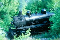
The "Heeber Creeper", Heber Valley RailRoad Engine No. 618, a coal-fired 2-8-4. Provo Canyon Utah |
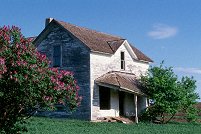 |
#a106-33
"Lilacs and Ruins"
An abandoned farm and equipment. I got there during Spring, just when the Lilacs were at their peak Western South Dakota |
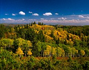 |
#191-1
A nice vista seen towards the top of the Mt. Nebo scenic loop. Those specks in the sky are not dust, they are eagles. |
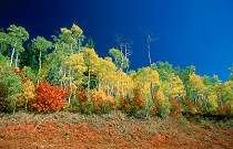 |
#201v-29
Scenic, fall colors next to Mt. Nebo Scenic Loop (note the uneven effect of the polarizer with a wide-angle lens) |
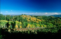 |
#202v-27
Scenic from roadway, Mt. Nebo scenic loop (note very uneven effect of the polarizer with this wide-angle lens) |
 |
#sunset
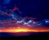
Sunset over Orem, from the Squaw Peak Overlook Provo UT |
 |
#203-3
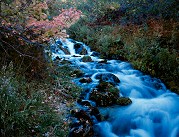
A portion of the upper cascade, Cascade Springs |
 |
#184-1
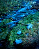
The upper cascade of Cascade Springs, just off the Alpine Loop. |
 |
#flood
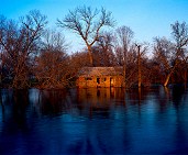
Flooded old homestead on the Big Sioux River Egan SD |
 |
#pump3
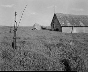
The pump that usually sits under a windmill Old farmstead (see "lilacs") NE of Brookings SD |
 |
#203-2
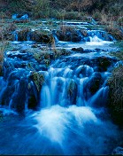
The lower cascade, Cascade Springs |
 |
#176v-22
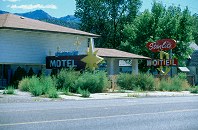
The rather beautiful, but abandoned, Starlight Inn, left to rot in 2000. Nephi Utah |
 |
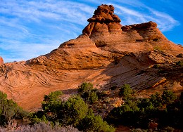
#226-1
Weathered rock, striated clouds Arches National Park Moab Utah |
 |
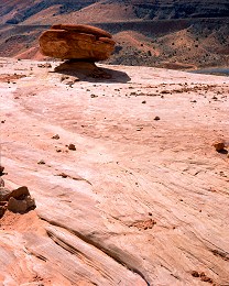
#219-1
Weathered sandstone, morning. Arches National Park Moab Utah |
 |
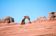
#224-3
Balanced rock on weathered Navajo sandstone Arches National Park (entrance road) Moab Utah |
 |
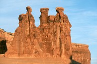
#2250
Delicate Arch from the viewpoint near the road. |
 |
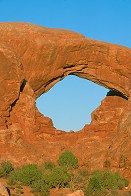
#2373
The Three Gossips Arches |
 |
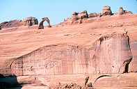
#2367
South Arch The Windows, Arches |
 |
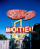
#2251
Delicate Arch, dimunitized by the massive sandstone wall below it. Arches N.P. |
 |
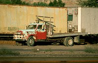
#189-2
The Starlight model, closed a year before this was taken Nephi Utah |
 |
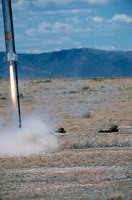
#170v-08
Old truck at the railyard UP railyard Provo UT |
 |
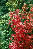
#145o-14
A big rocket surprises the photographer UROC members, http://www.UROC.org The UROC Pony Express Launch Site 15 miles South of Toole UT |
 |
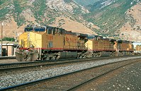
#199v-04
This and what follow were shot on the Mount Nebo scenic loop Between Nephi and Payson UT |
 |
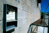
#169v-30
Union Pacefic engines at the Provo railyard. UP Yard Provo UT |
 |
#176v-36
Abandoned car/truck wash, next to the Starlight Inn. Nephi Utah |
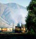 |
#170v-22
Starting the diesel motor. |
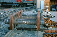 |
#170v-32
New wheels for unpowered trucks. Spare air compressors in the background. |
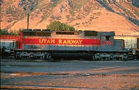 |
#171v-12
An old EMD GP engine, from the 50's. |
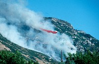 |
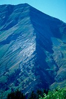
#164m-05
Forest Service plane dropping retardant on the Slate Canyon fire, August 2001. |
 |
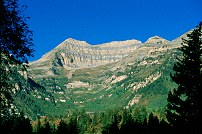
#180v-03
Northern escarpment of Mount Nebo, near Payson Utah. All shots that follow are taken on the Mt. Nebo Scenic Loop, a wonderful drive in the fall. |
 |
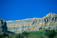
#173v-21
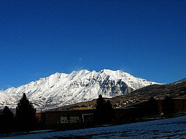
The 'back' (North) side of Mt. Timpanogus. |
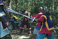
 |
#173v-30
The North side of Mt. Timpanogus, the survey shack on the summit barely visible. |
 |
#n056-13
More of the woods battle. |
 |
#151v-18
The "dyno", lunging from one self to another. |
Results from the Comments:
 |
Bruce Wilson
of Provo, UT
thought on 7/17/2007 that this photo was displayed properly
and added the following: |
 |
whitney sorensen
of salt lake city utah
thought on 3/10/2007 that this photo was displayed properly
and added the following: |
 |
Bruce Wilson
thought on 10/3/2006 that this photo was displayed properly
and added the following: |
|
|
monica vera
of Phoenix
thought on 9/29/2006 that this photo was superb
and added the following: |
 |
An anonymous visitor
thought on 6/5/2006 that this photo was superb
and added the following: |
 |
Bruce Wilson
of Provo, Utah
thought on 5/31/2006 that this photo was displayed properly
and added the following: |
 |
Donald 187
thought on 5/30/2006 that this photo was very cool
and added the following: |
|
|
amy williams
of idaho falls id
thought on 4/1/2006 that this photo was superb
and added the following: |
 |
randy myers
of old river ,texas
thought on 11/20/2005 that this photo was superb
and added the following: |
 |
Mike Davies
of Salt Lake City
thought on 11/11/2005 that this photo was good
and added the following: |
 |
Maxim
of Ohio
thought on 10/30/2005 that this photo was good
and added the following: |
 |
Maxim
of Ohio
thought on 10/30/2005 that this photo was superb
and added the following: |
 |
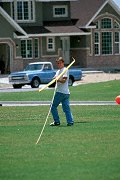
Maxim
of Ohio
thought on 10/30/2005 that this photo was okay
and added the following: |
 |
Lisa Jensen
thought on 8/8/2005 that this photo was very cool
and added the following: |
|
|
Jake Richens
of Salt Lake
thought on 6/23/2005 that this photo was superb
and added the following: |
 |
An anonymous visitor
thought on 6/15/2005 that this photo was displayed properly
and added the following: |
 |
Michael of Florida
thought on 6/14/2005 that this photo was superb
and added the following: |
 |
Wayne
of Orem
thought on 6/14/2005 that this photo was displayed properly
and added the following: |
|
|
Syr Cian mac CuRoi
of Calontir
thought on 5/9/2005 that this photo was displayed properly
and added the following: |
|
|
Andrew
thought on 2/25/2005 that this photo was superb
and added the following: |
|
|
Jim Nowling
thought on 2/8/2005 that this photo was good
and added the following: |
 |
Jennifer Savage
thought on 2/1/2005 that this photo was totally cool, dude
and added the following: |
|
|
Bruce Wilson
of Provo, Utah
thought on 1/9/2005 that this photo was displayed properly
and added the following: |
 |
Bruce Wilson
thought on 10/20/2004 that this photo was displayed properly
and added the following: |
|
|
Bruce Wilson
of Provo, Utah
thought on 10/20/2004 that this photo was displayed properly
and added the following: |
|
|
Rivi
of Dubai - U.A.E.
thought on 10/19/2004 that this photo was superb
and added the following: |
|
|
Benjamin J Wilson
thought on 8/19/2004 that this photo was like, Wow, you know, totally mind-blowing
and added the following: |
|
|
Terri M.
of Idaho Falls, ID
thought on 7/27/2004 that this photo was superb
and added the following: |
|
|
Dorde Woodruff
of SLC
thought on 5/30/2004 that this photo was displayed properly
and added the following: |
 |
Dorde Woodruff
of SLC
thought on 5/30/2004 that this photo was good
and added the following: |
 |
Dorde Woodruff
of SLC
thought on 5/30/2004 that this photo was good
and added the following: |
 |
Dorde Woodruff
of SLC
thought on 5/30/2004 that this photo was good
and added the following: |
 |
Wayne
thought on 5/14/2004 that this photo was displayed properly
and added the following: |
 |
Wayne
thought on 5/14/2004 that this photo was displayed properly
and added the following: |
 |
Bruce Wilson
of Provo, Utah
thought on 2/23/2004 that this photo was displayed properly
and added the following: |
 |
Bruce Wilson
of Provo, Utah
thought on 2/23/2004 that this photo was displayed properly
and added the following: |
|
|
spaceranger47 of Mars
thought on 2/21/2004 that this photo was superb
and added the following: |
 |
Matt
thought on 12/15/2003 that this photo was superb
and added the following: |
 |
swede
of Gothenburg, Sweden
thought on 9/8/2003 that this photo was totally cool, dude
and added the following: |
 |
Doug Dolde
of Payson AZ
thought on 7/16/2003 that this photo was superb
and added the following: |
|
|
Lauren Anderson
of Ogden, UT
thought on 5/22/2003 that this photo was 'interesting'
and added the following: |
|
|
Lauren Anderson
of Ogden, UT
thought on 5/22/2003 that this photo was totally cool, dude
and added the following: |
|
|
Cemal Ekin
thought on 11/24/2002 that this photo was superb
and added the following: |
 |
Cemal Ekin
of Rhode Island
thought on 11/24/2002 that this photo was good
and added the following: |
|
|
Cemal Ekin
of Rhode Island
thought on 11/24/2002 that this photo was displayed properly
and added the following: |
 |
Barbara Willard
of Provo
thought on 10/26/2002 that this photo was superb
and added the following: |
 |
Barbara Willard
of Provo
thought on 10/26/2002 that this photo was good
and added the following: |
 |
Barbara Willard
of Provo
thought on 10/26/2002 that this photo was superb
and added the following: |
 |
Barbara Willard
of Provo
thought on 10/26/2002 that this photo was superb
and added the following: |
|
|
cody hatfield
of payson
thought on 9/25/2002 that this photo was good
and added the following: |
 |
Eric Carlson
of Crooks
thought on 7/28/2002 that this photo was very cool
and added the following: |
 |
daniel mendez
of Ann Arbor, MI
thought on 6/27/2002 that this photo was good
and added the following: |
 |
Jonathan Bundick
of Texas
thought on 6/27/2002 that this photo was good
and added the following: |
Private photo not shown. |
Please login on the Catalog page to view comments on private photos. |
|
|
Bruce Wilson
thought on 5/23/2002 that this photo was displayed properly
and added the following: |
 |
Bruce Wilson
of Provo, Utah
thought on 3/14/2002 that this photo was displayed properly
and added the following: |
|
|
Theo Jacobs
of The Netherlands (highest hill: 340 meter)
thought on 3/14/2002 that this photo was superb
and added the following: |
 |
jack gilbert
of Toronto
thought on 3/13/2002 that this photo was superb
and added the following: |
 |
An anonymous visitor
thought on 1/26/2002 that this photo was okay
and added the following: |
 |
An anonymous visitor
thought on 1/26/2002 that this photo was good
and added the following: |
Private photo not shown. |
Please login on the Catalog page to view comments on private photos. |
 |
An anonymous visitor
thought on 11/28/2001 that this photo was superb
and added the following: |
|
|
An anonymous visitor
thought on 11/5/2001 that this photo was superb
and added the following: |
 |
Bruce Wilson
thought on 7/14/2001 that this photo was good
and added the following: |
Private photo not shown. |
Please login on the Catalog page to view comments on private photos. |
 |
Rebecca
of SDSU at the moment
thought on 4/27/2001 that this photo was 'interesting'
and added the following: |
 |
Bruce Wilson
thought on 4/19/2001 that this photo was 'interesting'
and added the following: |
 |
Bruce Wilson
thought on 4/11/2001 that this photo was displayed properly
and added the following: |
 |
Joe
thought on 4/11/2001 that this photo was good
and added the following: |
 |
Crystal
of SDSU
thought on 4/9/2001 that this photo was superb
and added the following: |
 |
Bruce Wilson
thought on 4/7/2001 that this photo was okay
and added the following: |
 |
Bruce Wilson
thought on 4/7/2001 that this photo was 'interesting'
and added the following: |
 |
Bruce Wilson
thought on 4/7/2001 that this photo was quite beyond his capacity to understand
and added the following: |
|
|
Bruce Wilson
thought on 4/7/2001 that this photo was good
and added the following: |
|
|
Bruce Wilson
thought on 4/6/2001 that this photo was displayed properly
and added the following: |
 |
Bruce Wilson
of Brookings SD
thought on 4/6/2001 that this photo was good
and added the following: |
 |
Bruce Wilson
thought on 4/6/2001 that this photo was blah
and added the following: |
 |
Bruce Wilson
of Brookings SD
thought on 4/5/2001 that this photo was good
and added the following: |
|
|
Bruce Wilson
thought on 4/5/2001 that this photo was okay
and added the following: |
|
|
Bruce Wilson
of Brookings SD
thought on 4/5/2001 that this photo was superb
and added the following: |
 |
Bruce Wilson
thought on 4/5/2001 that this photo was good
and added the following: |
 |
Bruce Wilson
of Brookings SD
thought on 4/5/2001 that this photo was good
and added the following: |
Results from the old catalog:
This search is a simple search for a word that appears somewhere in the database.
It is best to search a single word only. Multiple words are treated as OR.
If you find photos in the photographs section, you might want to look at
all the photographs in that photos directory to find similar matches.
Click here to list all keywords in the
database.
Click here to list the most popular photos in the
database.